5 Amazing Wisconsin Ice Fishing Lakes
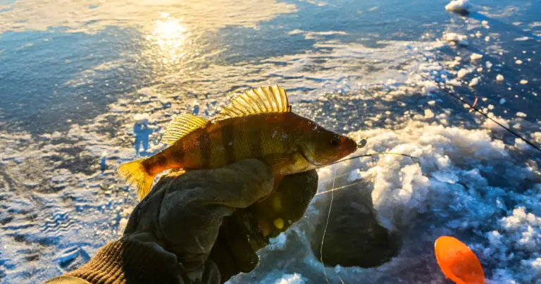
When it comes to Wisconsin ice fishing lakes, anglers are truly spoiled for choice. The state has more than 15,000 lakes, and many of them offer…

When it comes to Wisconsin ice fishing lakes, anglers are truly spoiled for choice. The state has more than 15,000 lakes, and many of them offer…
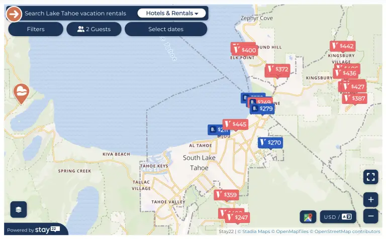
Finding the best lake lodging deal for you next lake vacation can be frustrating and time consuming. It usually goes something like this: Hotel site ➡️…
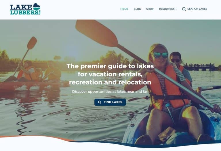
Today, LakeLubbers announced new ownership and a completely updated and redesigned lakelubbers.com. We could not be more excited about this new chapter in LakeLubbers’ journey and…
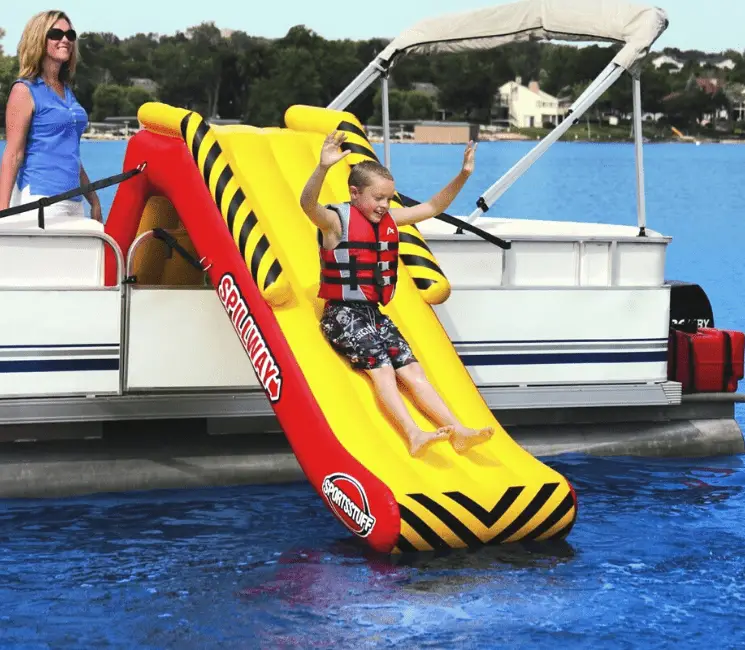
Step up your family fun this summer with six of the best inflatable pontoon boat slides. If you need a more thrilling flotation toy, or if…

A gorgeous lake view is the heart any lake home, but when it comes to ideas for lake house decor, it can be challenging to know…
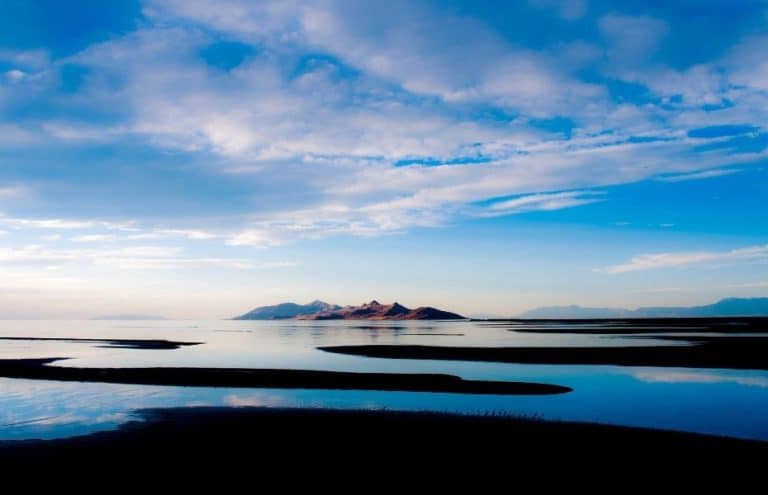
The Great Salt Lake of Utah is geographical masterpiece that offers travelers so much to discover and explore. A visit here will delight you with breathtaking…
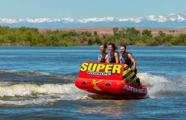
If you’re looking to purchase a 1-3 person towable tube, choosing the right model can be a daunting task. In addition to so many towable tube…
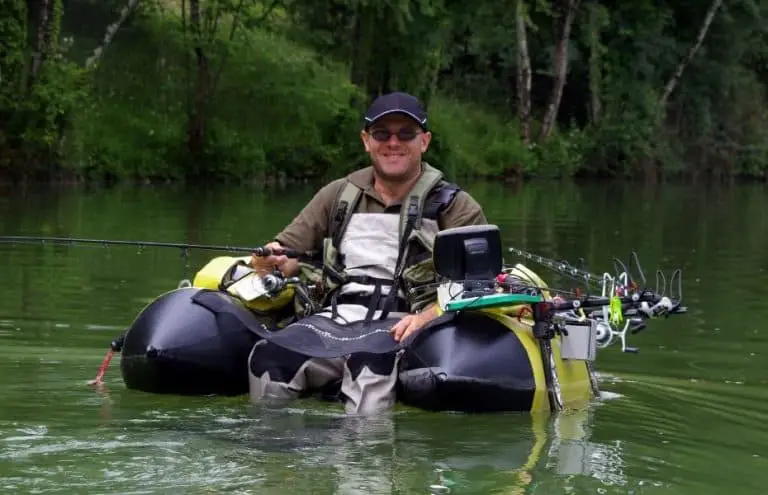
While some anglers have the luxury of owning a boat to get out on the water, others need to find more cost-effective options like fishing float…
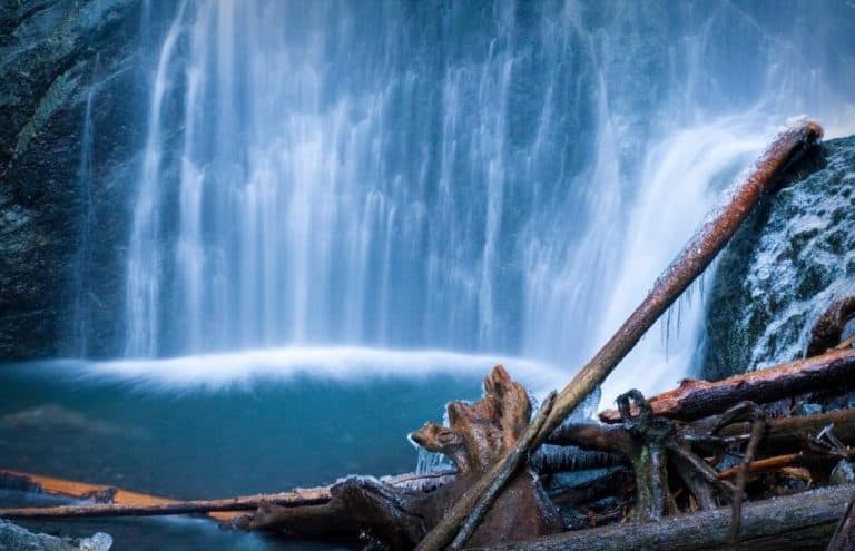
From roaring cascades to tiny trickles, lakes with waterfalls are perfect spots to picnic, take a hike (or possibly a dip) and, of course, capture stunning…

If you love a lake vacation, you probably already know that proper planning can be the difference between stress-free fun and all-out chaos. Whether you’re envisioning…

What are the most popular vacation lakes in the United States? We’re sure you have your favorites, but what about the big picture? We took a…

What are the world’s most beautiful lakes? With so many stunning lakes around the globe, creating this list wasn’t easy. However, our choices all have something…