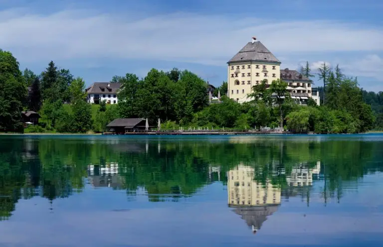
Lake Lighthouses: Beautiful Beacons Steeped in History
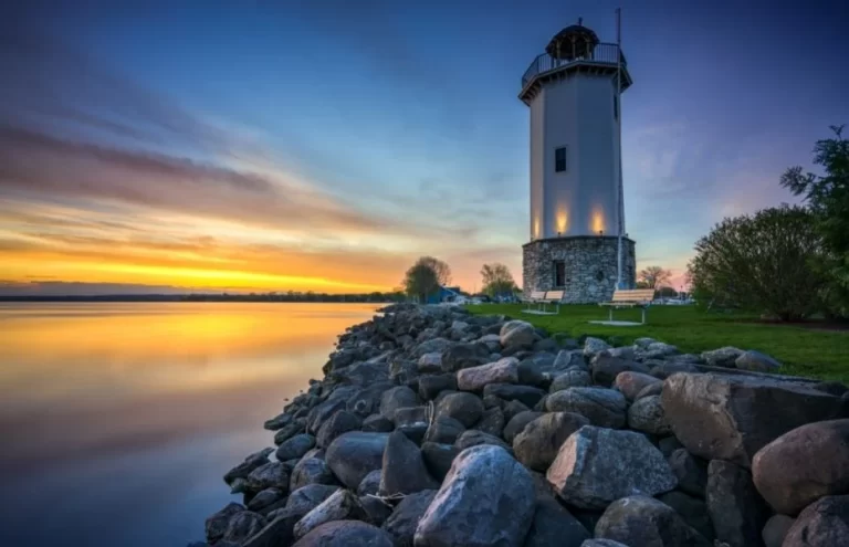
Lighthouses evoke images of beacons warning passing ships of dangerous ocean shoals. But lighthouses are not the exclusive domain of ocean coastlines. These maritime lifesavers have…

Lighthouses evoke images of beacons warning passing ships of dangerous ocean shoals. But lighthouses are not the exclusive domain of ocean coastlines. These maritime lifesavers have…
With more than three million lakes around the world, you’ll find plenty that could be considered strange, bizarre, crazy, unique or unusual lakes. Lakes exist in…

Most of us have witnessed the cinematic re-creation of the world’s most famous shipwreck. The 1997 box office smash “Titanic” earned 11 Oscar Awards. Although shipwrecks…
What do you get when you combine scenic lakes with the the grandeur of America’s national parks? A natural combination that simply can’t be beat in…
Around the globe, it’s estimated there are around two million lakes, inland bodies of water that exist in a wide range of habitats and at many…
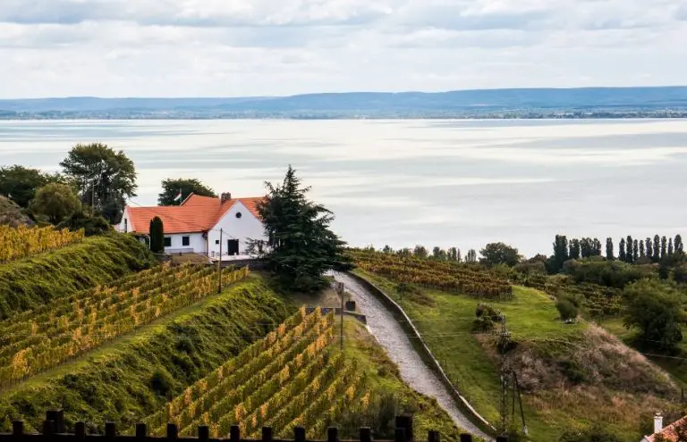
The only thing better than a lake vacation is a lake vacation in wine country. After a day out on the water you can settle down…
Lakes offer some of the world’s best getaways and most affordable vacation destinations, where blue skies, peaceful water and the great outdoors are your daily playground.…
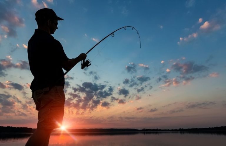
Let’s be clear: There is no shortage of great bass fishing lakes in the United States. In fact, did you know you can locate the species…
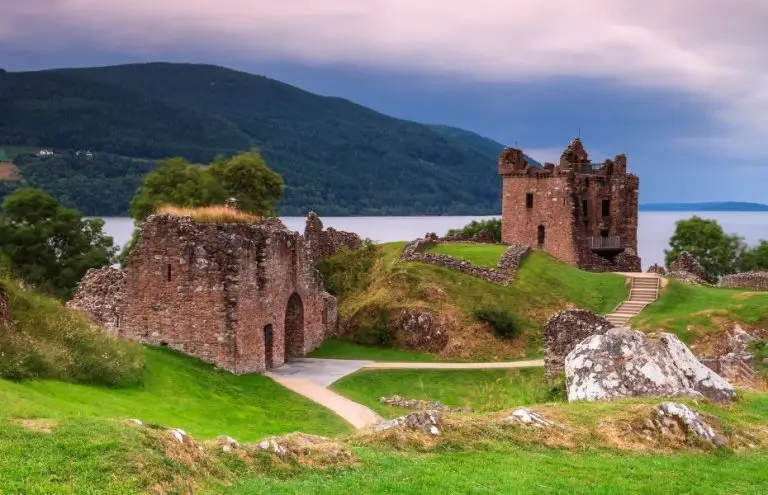
Legends of lake monsters have existed around the world for hundreds of years. Lake monsters are a cornerstone of cryptozoology, the study of legendary hidden and…

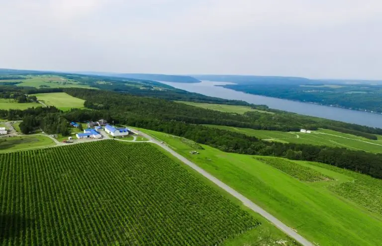
New York’s Finger Lakes are well-known tourist destinations, and their wines have gained international recognition. But how many Lakelubbers have heard of New York’s Concord Grape…
Lights, Camera, Action! Do you pay attention to filming locations at the end of a movie’s credits? Film location scouting begins very early in a movie’s…
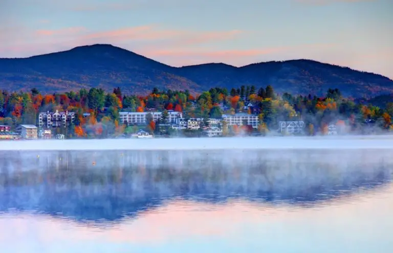
Lakes aren’t just warm-weather destinations. Spring, fall and winter all offer scenic beauty and abundant activities at lakes across the country. Lake Tahoe is the quintessential…